
Murray Irrigation
Foundational asset condition assessment project
Using advanced technology to undertake a full assessment of the $1 billion worth of assets that make up Murray Irrigation's extensive channel network.
Project summary
The Foundational Asset Condition Assessment Project (FACAP) is a key component of Murray Irrigation's Asset Management Strategy.
The purpose of this initiative is to collect high-quality data and imagery to provide a comprehensive condition assessment of the company's entire asset base. This includes 4,000 kilometres of earthen channels and drains and more than 3,500 bridges, culverts and various other structures within the Murray Irrigation service footprint.
The data collated will be analysed and used to support informed decision-making, improve operational efficiency, and ensure sustainable infrastructure management for future generations.
A copy of our project media release is below.

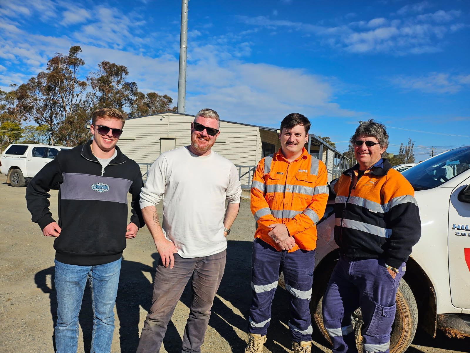
Murray Irrigation is working with contractors Beca and sub-contractors Veris to complete the largest one-off condition assessment the company has ever undertaken.
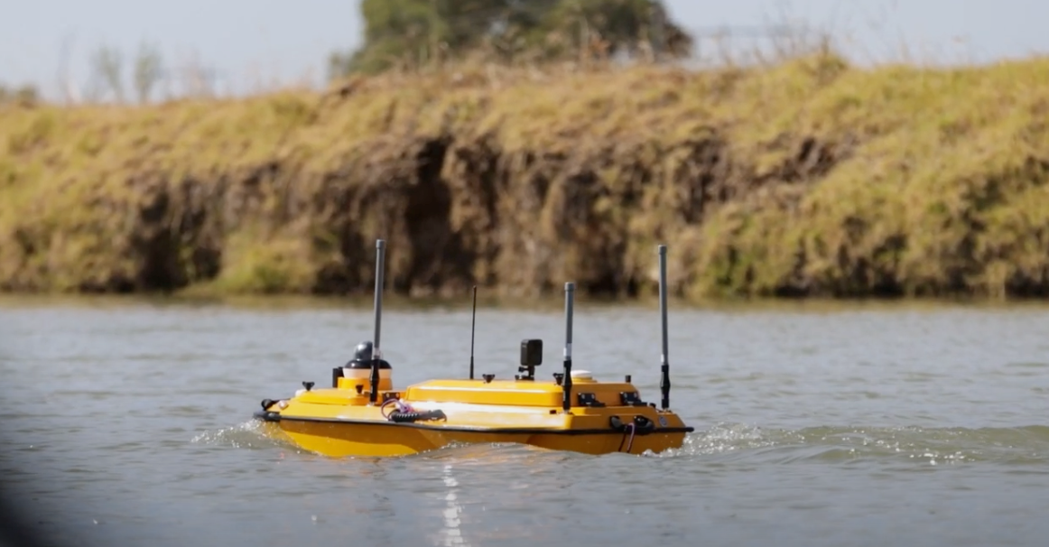
This video provides insight into the innovative technology being used, and why Murray Irrigation has chosen this method of surveying company assets.

Project benefits
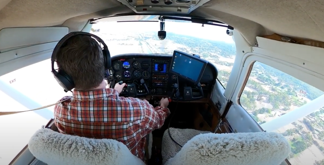
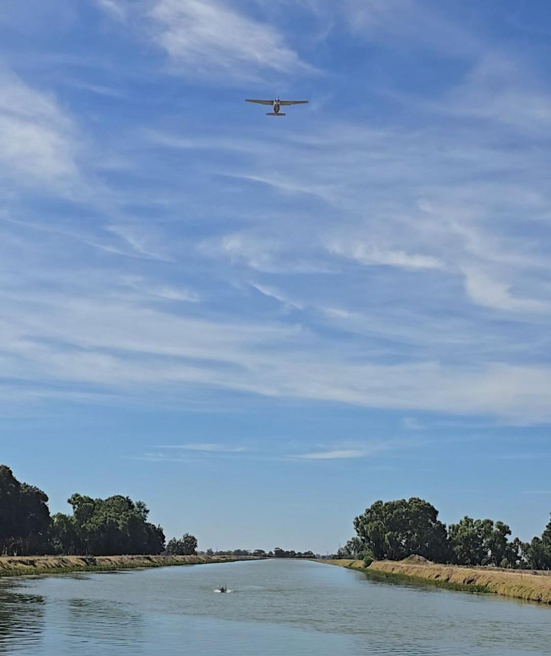
The combination of high-resolution aerial imaging and advanced underwater mapping technology enables Murray Irrigation to efficiently collect data on all of its assets for the very first time.
The high-quality calibre of data and imagery being captured helps ensure accurate asset condition ratings and defect identification for informed decision-making.
The use of this innovative technology is the most timely, cost effective and efficient way to collect and analyse data on the entire network.
Key milestones
January 2025
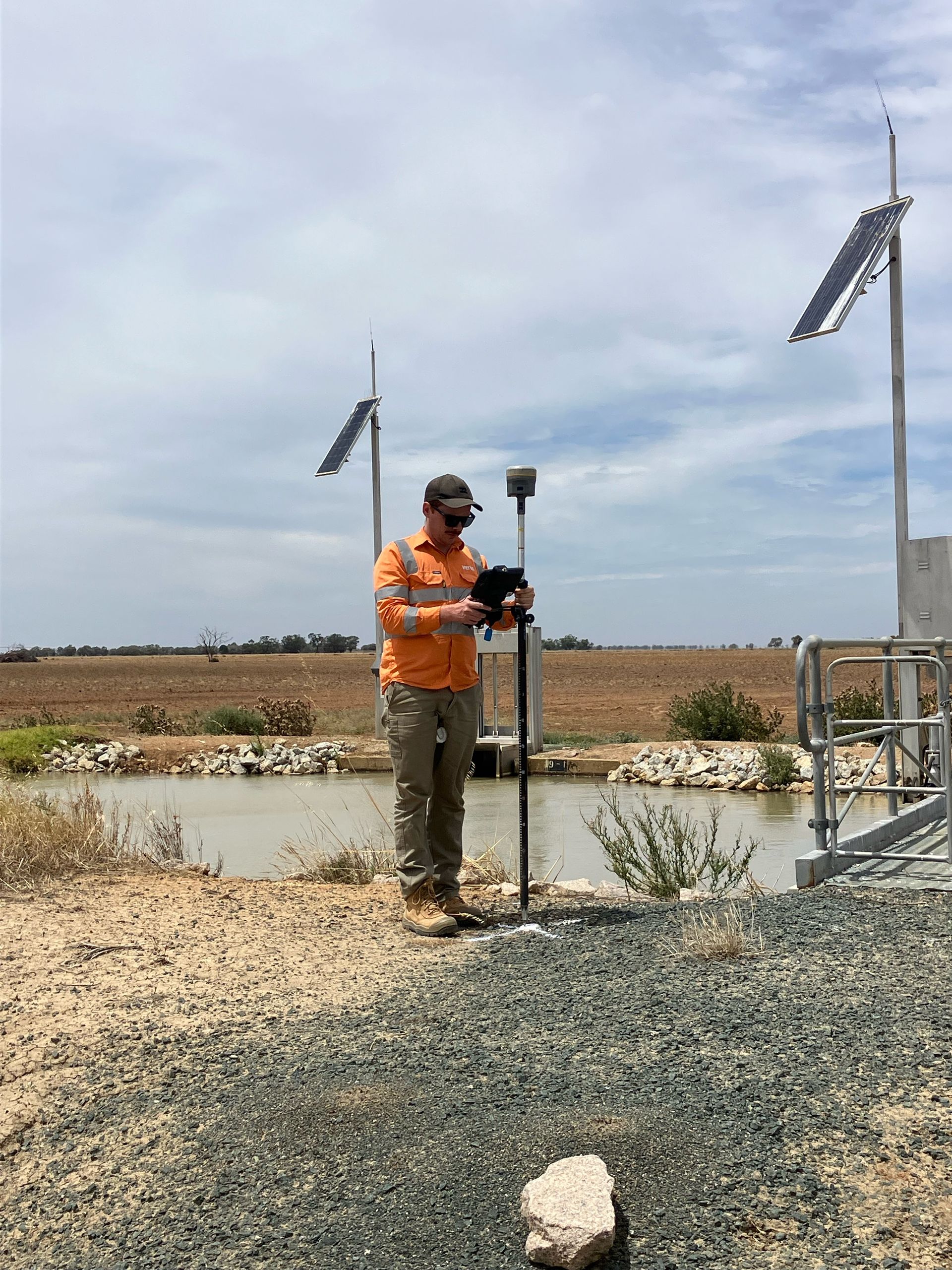
The project officially commences with the first survey markers positioned into the ground.
July 2025
The extensive field survey is completed, marking an end to Stage 1 of the project.
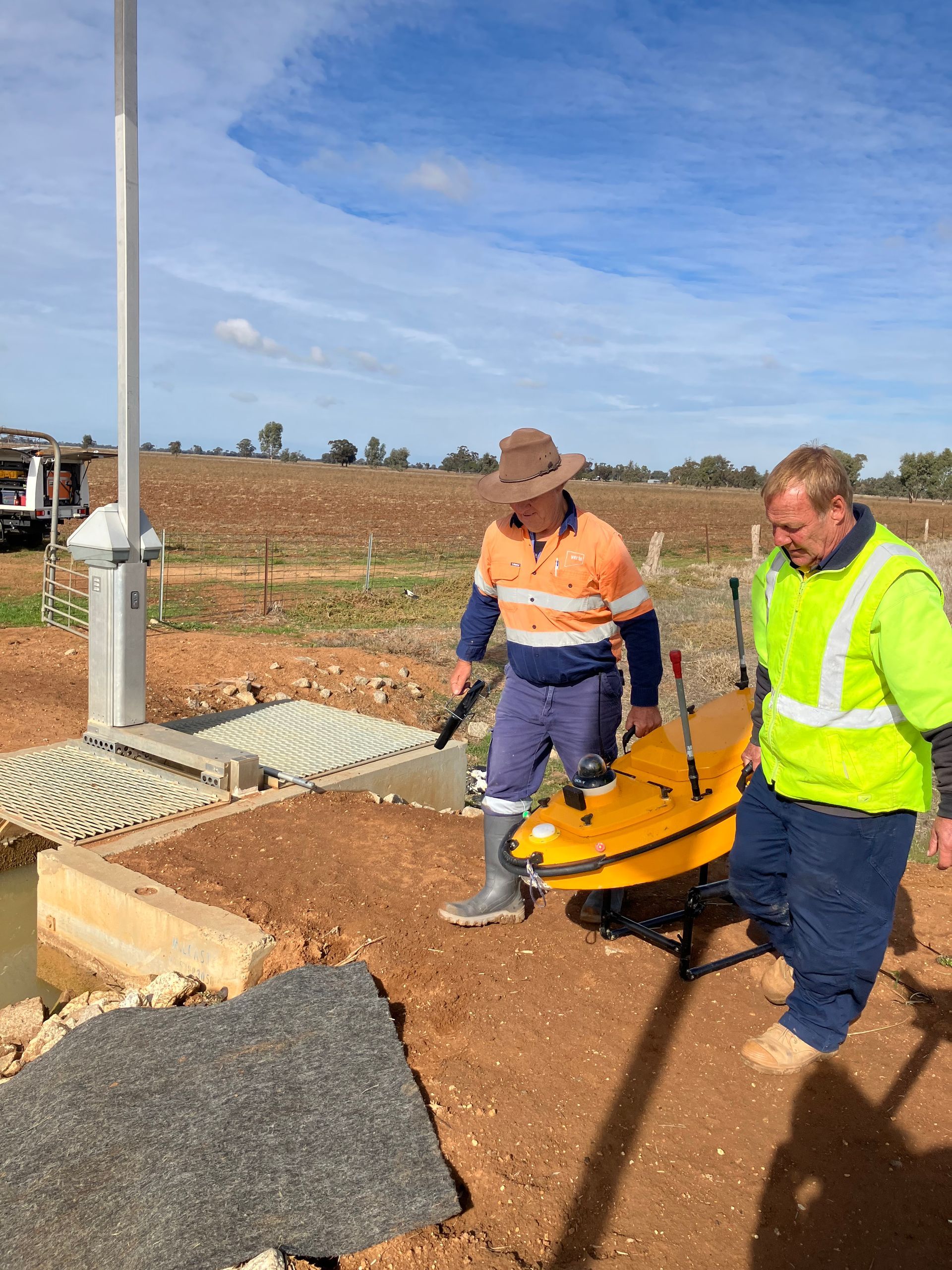
This mammoth undertaking has taken 26 weeks to complete, incorporating a mix of ground, aerial and bathymetric (underwater) survey work.
Next, the data captured will be assessed to provide Murray Irrigation with a comprehensive condition assessment of all civil and earthen assets across the footprint.
February 2025
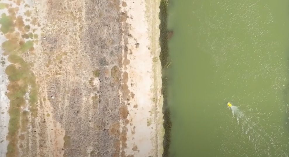
Aerial photogrammetry and in-channel bathymetric survey works commences.
September 2025
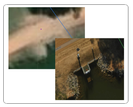
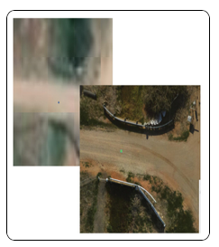
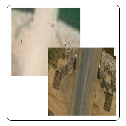
The team is pleased to receive an early indication of the quality of imagery that will be seen on the GIS platform thanks to the new data that has been captured using aerial photogrammetry. The resolution is capable of being 2 metres away.
The below examples compare the current GIS imagery to the aerial imagery starting to be seen through the new data:
Offtake image
Culvert image
Stock ramp image
February 2026
The project officially comes to a close, with the new FACAP GIS platform up and running, providing the company with a comprehensive asset condition baseline that Murray Irrigation can use to better prioritise maintenance and investment, reduce the need for manual inspections, and plan with greater confidence for the long term.
July 2027
Inside Water Magazine publishes a feature article on FACAP, describing the project as "a new standard for asset management and regional resilience".
"The Murray Irrigation Project is more than a technical achievement; it is a story of partnership, innovation, and lasting value for communities and industry."
Read the full article here.
Progress updates
More details on Murray Irrigation's Foundational Asset Condition Assessment Project can be found in our progress updates below:
