Foundational Asset Condition Assessment Project progress update - September
8 September 2025
The Asset Management Team is pleased to announce the following progress has been made with our Foundational Asset Condition Assessment Project (FACAP):
- Photogrammetry Capture - 100% completed
- Aerial LiDAR capture - 100% completed
- Bathy Capture - 100% completed
Both Aerial and Bathy capture is currently being analysed to ensure no gaps, with progress to date as follows:
- 99% of the Aerial Photogrammetry data has now been processed (at this stage approximately 15% of the network has been identified to require additional flights to ensure data accuracy).
- Aerial LiDAR data has now commenced and has undergone a Quality Assurance review. The delivery of the data through Digital Terrain Models (DTM) creation is expected to commence this week.
- 97% of Bathy data has been processed, with the final processing due to be completed within the next week.
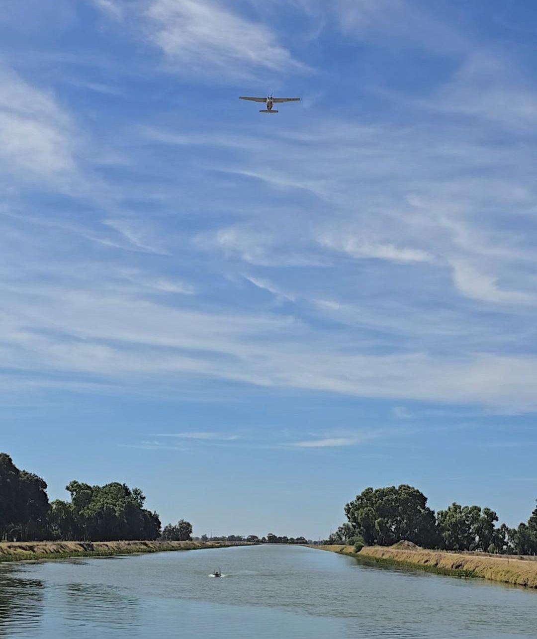
Aerial Imagery
The team is pleased to be receiving an early indication of the quality of imagery that will be seen on our GIS platform thanks to the new data that has been captured. With resolution capable of being 2 metres away, the imagery is looking fantastic!
The below examples compare the current GIS imagery to the imagery starting to be seen through the new data:
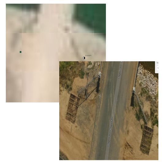
Stock ramp image
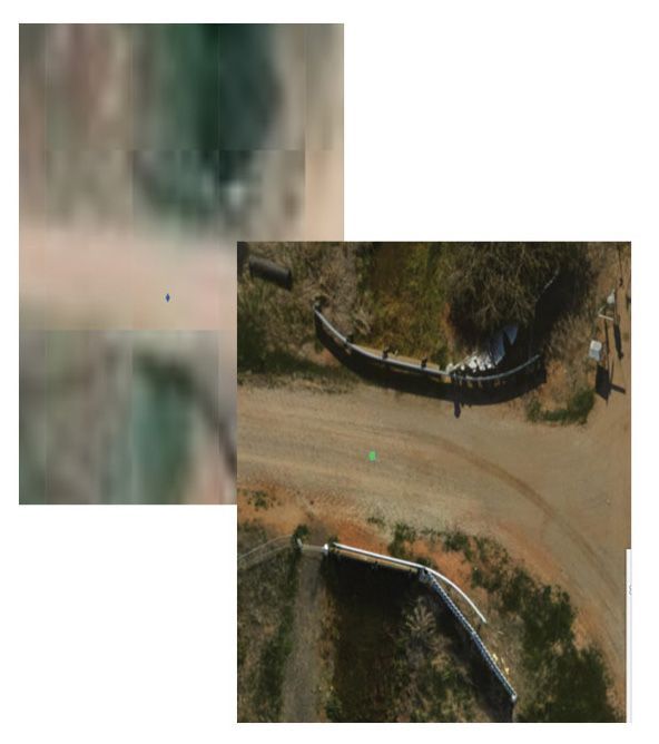
Culvert image
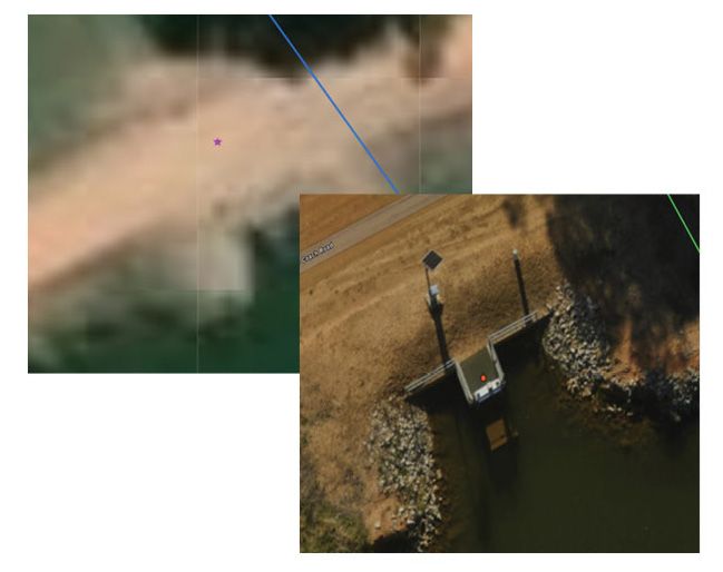
Offtake image
